Capture Accurate and Detailed Aerial Footage in Ontario
Ozar Imaging (OzIm) is your trusted partner for professional data collection and aerial footage in Ontario. With our drone expertise and years of experience in the field, we cater to a diverse range of industries. From capturing detailed images to gathering accurate data, we excel in delivering top-notch results, even in remote areas. Contact us to learn more about our services.
See our imagery processing services.
Solutions for Your Imaging Needs
Ozar Imaging is a flexible and adaptable company committed to going the extra mile to ensure project success. Our collaborative approach means we work closely with clients and tailor our services to meet their specific needs. You can rely on us to get the job done right, whether you require a high-quality 4K video or 3D modeling and mapping for videos with a wide variety of data. Our 3D models are meticulously detailed, and each pixel has a geo-location.

Partner with Our Team of Experts
Our owner brings with him previous experience in the fire alarm industry. Since our establishment in 2017, we have been committed to delivering top-notch aerial imagery solutions. You can have peace of mind knowing you’re working with experienced professionals.
Our Services
- Point Cloud and rayCloud
- 3D Modeling/Mapping
- 3D Animation Trajectories (Above)
- Soil Analytics
- Thermal Imagery
- Livestock/Wildlife Inventory
- Missing Person Search

Solutions for Your Imaging Needs
Ozar Imaging is a flexible and adaptable company committed to going the extra mile to ensure project success. Our collaborative approach means we work closely with clients and tailor our services to meet their specific needs. You can rely on us to get the job done right, whether you require a high-quality 4K video or 3D modeling and mapping for videos with a wide variety of data. Our 3D models are meticulously detailed, and each pixel has a geo-location.

Partner with Our Team of Experts
Our owner brings with him previous experience in the fire alarm industry. Since our establishment in 2017, we have been committed to delivering top-notch aerial imagery solutions. You can have peace of mind knowing you’re working with experienced professionals.

Our Services
- Point Cloud and rayCloud
- 3D Modeling/Mapping
- 3D Animation Trajectories (Above)
- Soil Analytics
- Thermal Imagery
- Livestock/Wildlife Inventory
- Missing Person Search

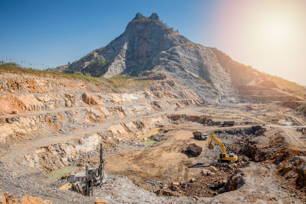
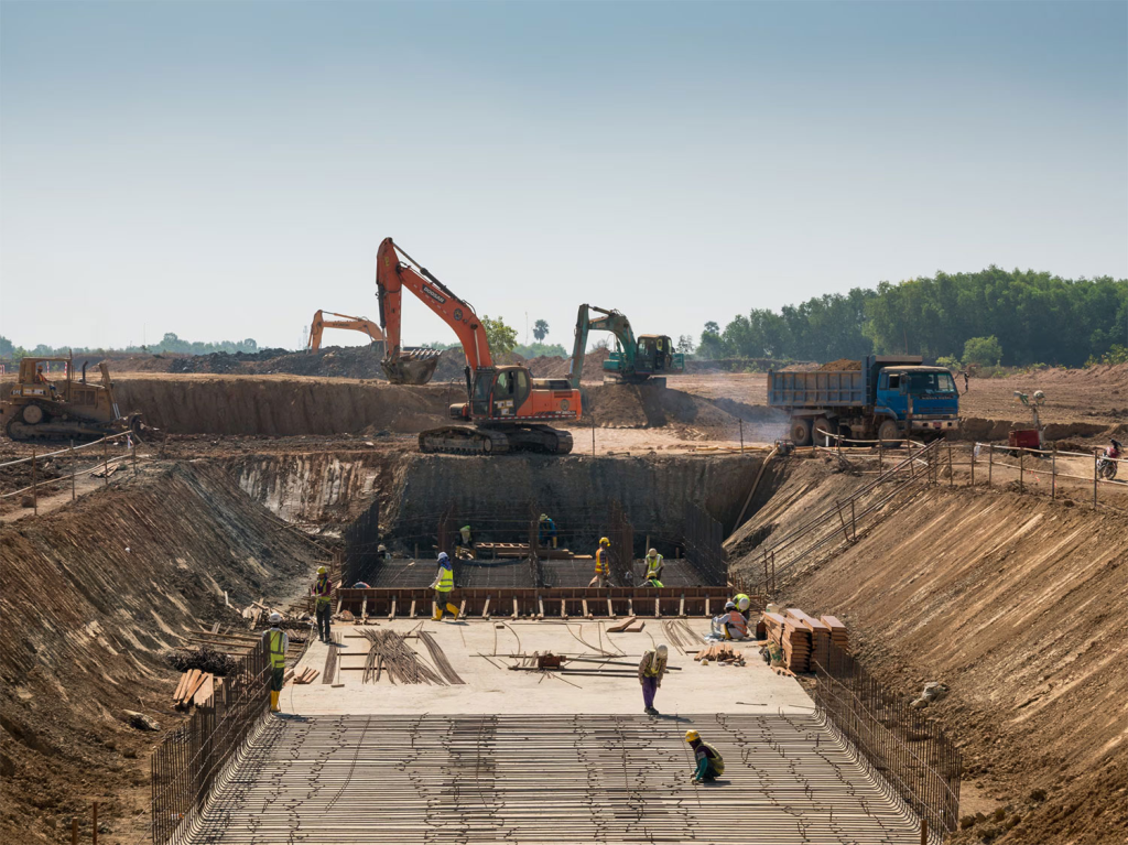
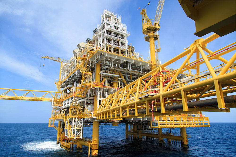
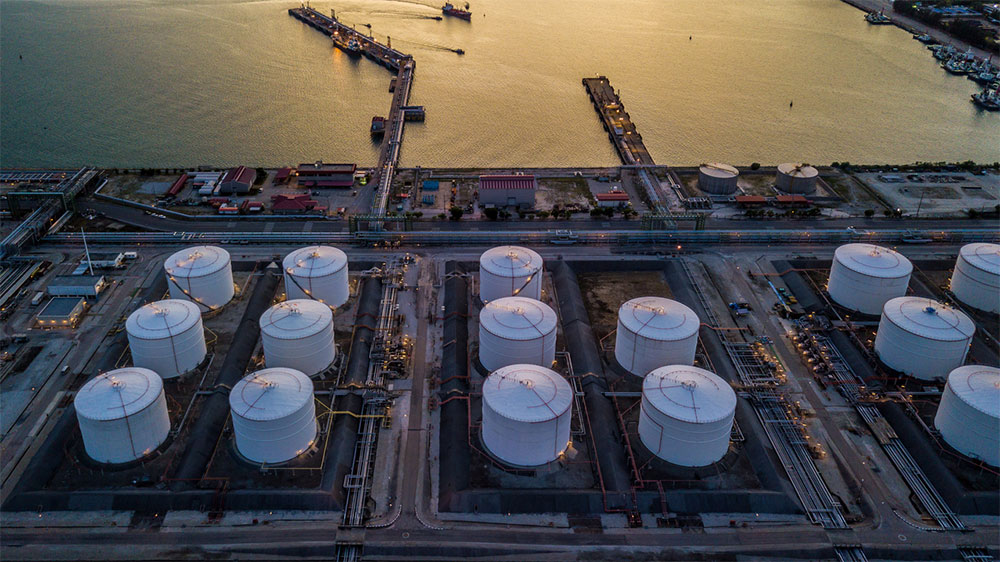
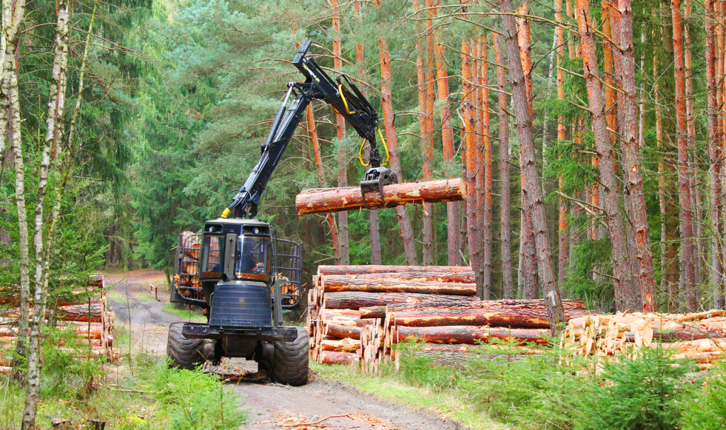
Industries We Serve
- Mining
- Construction
- Oil and Gas
- Pipelines
- Infrastructure Inspection
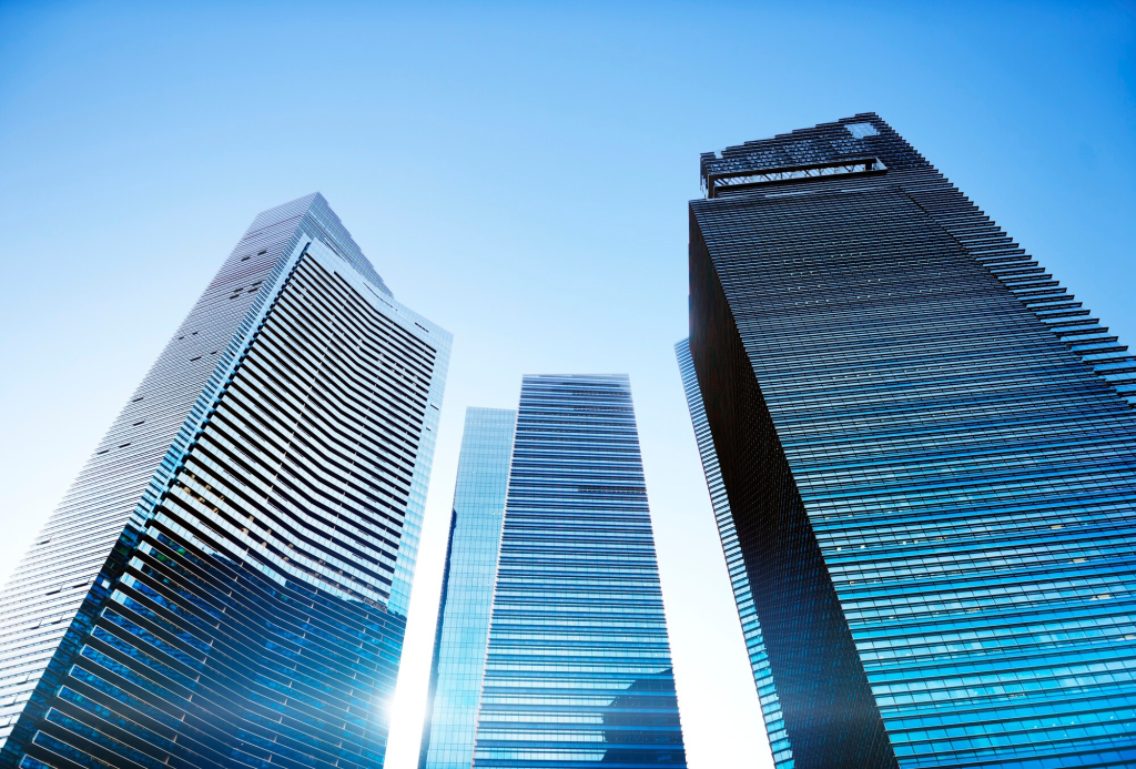
- Real Estate
- Residential
- Forestry
- Architectural
- Land Surveying
- Public Safety

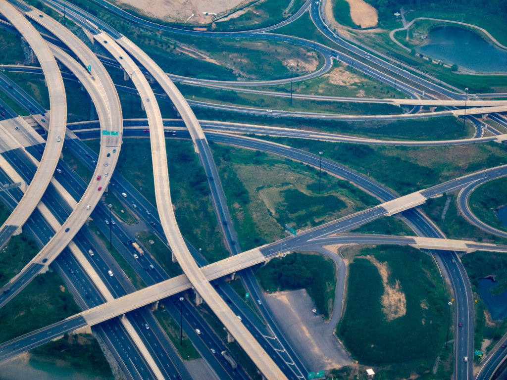
Imaging for Inspections of Various Structures
- Homes/Cottages
- Infrastructure (e.g. Bridges, Pipelines, Railway Tracks, and Power)
- Hazardous/Challenging Objects of Interest
- Up-Close Inspections
Industries We Serve
Mining
Construction
Oil and Gas
Pipelines
Infrastructure Inspection
Real Estate

Residential
Forestry
Architectural
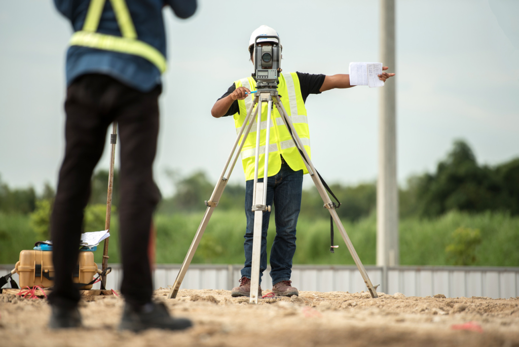
Land Surveying

Public Safety

Solutions for Your Imaging Needs
Ozar Imaging is a flexible and adaptable company committed to going the extra mile to ensure project success. Our collaborative approach means we work closely with clients and tailor our services to meet their specific needs. You can rely on us to get the job done right, whether you require a high-quality 4K video or 3D modeling and mapping for videos with a wide variety of data. Our 3D models are meticulously detailed, and each pixel has a geo-location.

Partner with Our Team of Experts
Our owner brings with him previous experience in the fire alarm industry. Since our establishment in 2017, we have been committed to delivering top-notch aerial imagery solutions. You can have peace of mind knowing you’re working with experienced professionals.

Our Services
- Point Cloud and rayCloud
- 3D Modeling/Mapping
- 3D Animation Trajectories (Above)
- Soil Analytics
- Thermal Imagery
- Livestock/Wildlife Inventory
- Missing Person Search

Industries We Serve
- Mining
- Construction
- Oil and Gas
- Pipelines
- Infrastructure Inspection
- Real Estate
- Residential
- Forestry
- Architectural
- Land Surveying
- Public Safety

Imaging for Inspections of Various Structures
- Homes/Cottages
- Infrastructure (e.g. Bridges, Pipelines, Railway Tracks, and Power)
- Hazardous/Challenging Objects of Interest
- Up-Close Inspections
Imaging for Inspections of Various Structures
- Homes/Cottages
- Infrastructure (e.g. Bridges, Pipelines, Railway Tracks, and Power)
- Hazardous/Challenging Objects of Interest
- Up-Close Inspections